Novacura has been intensively developing solutions for almost two decades, with a strong focus on enhancing the user experience. By gathering valuable insights directly from our users, we continually refine our software, Novacura Flow, to make it as flexible as possible.
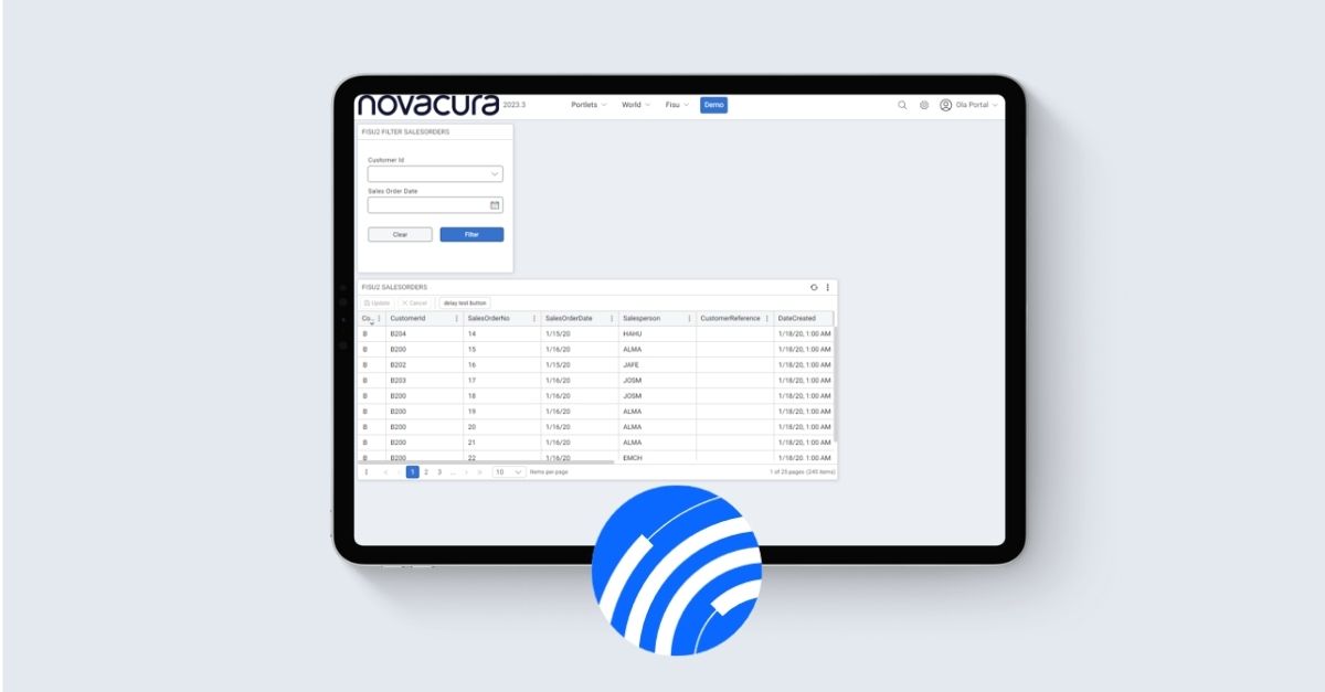
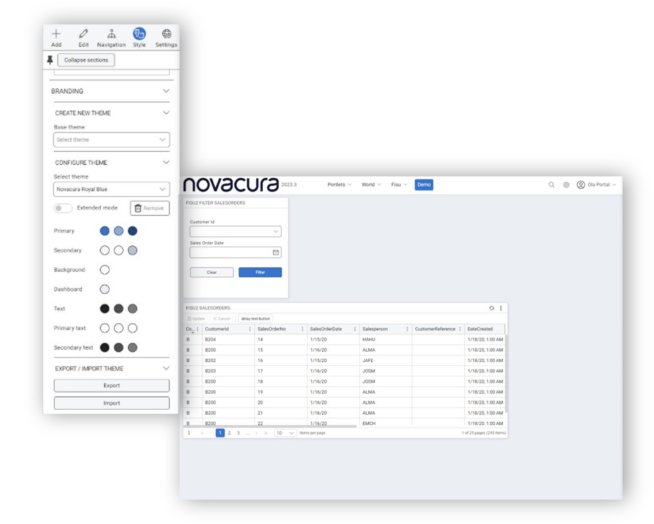
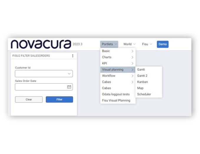
Recently, we achieved a significant milestone with the release of our latest version, Flow v.6.15 and a new version of the Flow Portal 2023.3.
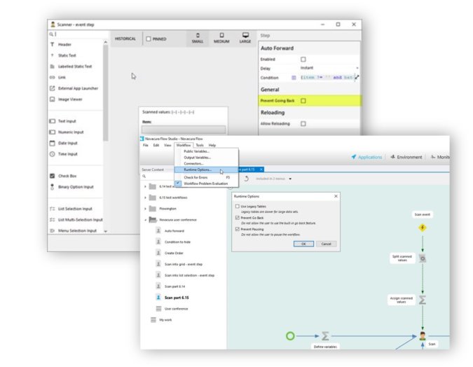
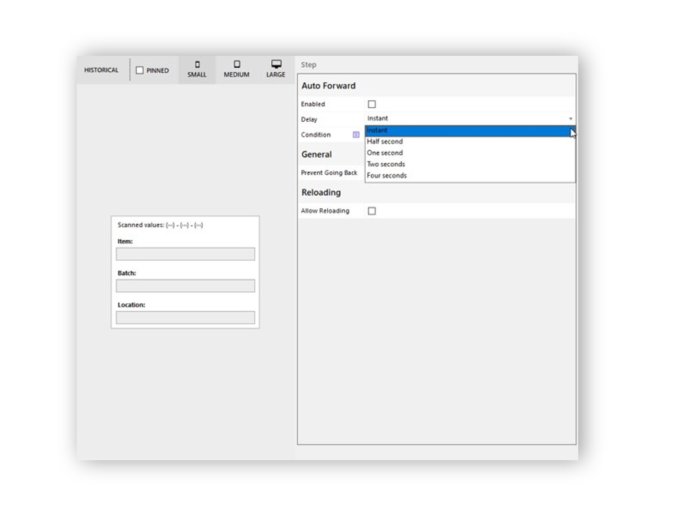
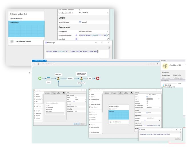
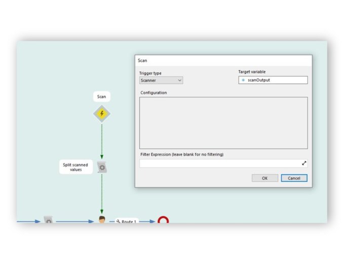
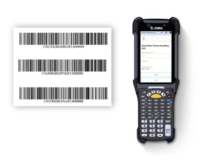
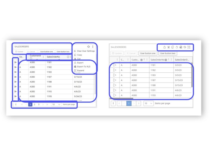
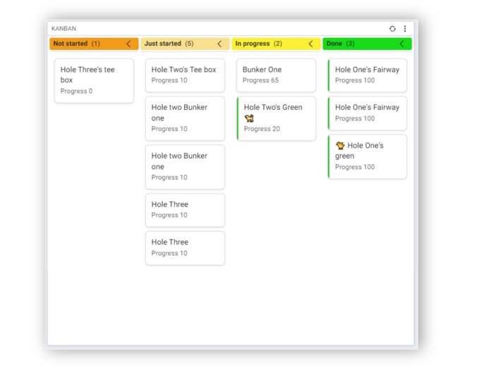
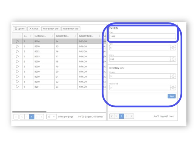
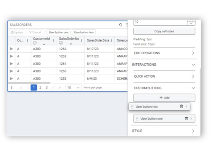
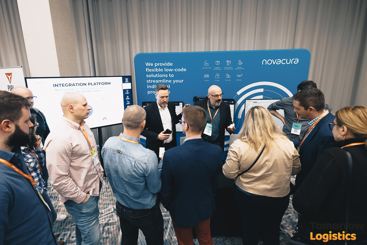
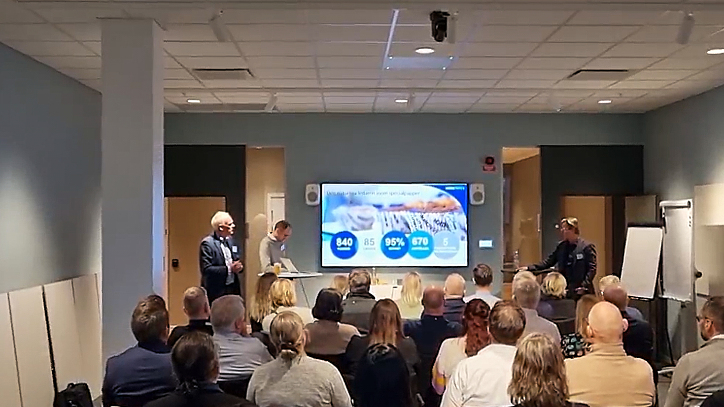
Novacura Flow version 6.15 puts major emphasis on mobile scanning functions. Automatic forwarding simplifies user interaction with their workflows and processes. This version represents a significant step towards user-centered development, as presented by our experts at the recent Novacura user conference in Gothenburg. Andreas Berggren, Malin Johansson, Ola Carlander from Novacura presented important changes for the latest version of Flow along with UI improvements.